The Victorian High Country Wall Map
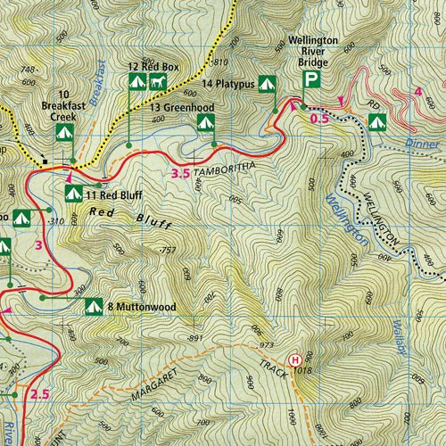
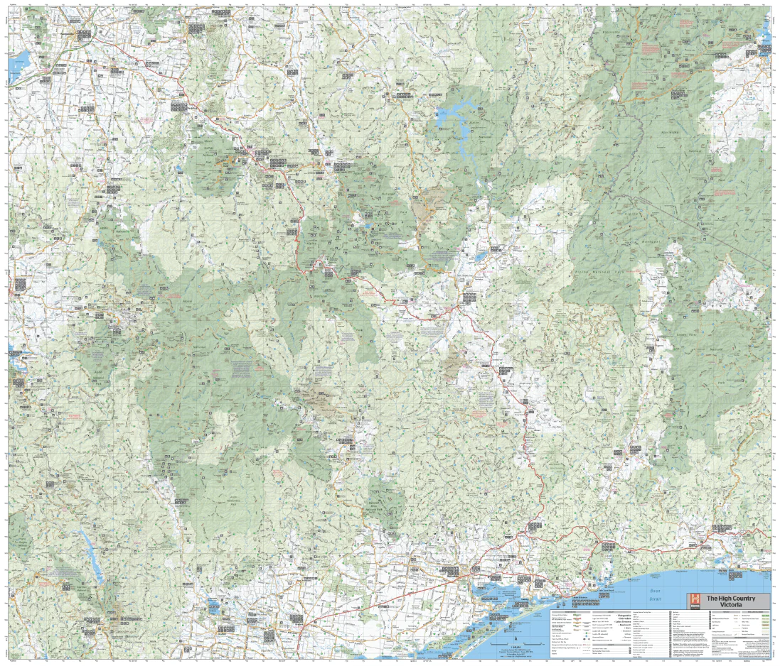
Wall map of the iconic Victorian High Country featuring Hema's customary mapping detail including National Parks, major road networks, and distances. This map covers an amazing area of natural beauty ideal for hikers, mountain bikers, 4WDrivers and day trippers. The ultimate planning tool for your High Country adventures.
Available in two finishes and two sizes as follows:
Finish
- Laminated encapsulated - high quality produced by Hema Maps
- Photo paper; Satin 255gsm (unlaminated) - high quality produced by Hema Maps
Size
- Super Map (WxH) - 1170x1000mm (scale: 1:200,000)
- Mega Map (WxH) - 1673x1430mm (scale: 1:140,000)
All maps are designed and printed in Australia.
Key Features
- Fully field checked by Hema's Map Patrol
- Featuring the Alpine, Snowy River and Kosciuszko National Parks
- 4WD tracks marked
- Relief shading
- Iconic huts marked
- Points of Interest and facilities listed
Key Specifications
Edition: 1st
Publication Date: 18/12/2020
Want something different. We do custom maps. Email: info@hemamaps.com
Product Information
Product Information
Shipping & Returns
Shipping & Returns
Description
Wall map of the iconic Victorian High Country featuring Hema's customary mapping detail including National Parks, major road networks, and distances. This map covers an amazing area of natural beauty ideal for hikers, mountain bikers, 4WDrivers and day trippers. The ultimate planning tool for your High Country adventures.
Available in two finishes and two sizes as follows:
Finish
- Laminated encapsulated - high quality produced by Hema Maps
- Photo paper; Satin 255gsm (unlaminated) - high quality produced by Hema Maps
Size
- Super Map (WxH) - 1170x1000mm (scale: 1:200,000)
- Mega Map (WxH) - 1673x1430mm (scale: 1:140,000)
All maps are designed and printed in Australia.
Key Features
- Fully field checked by Hema's Map Patrol
- Featuring the Alpine, Snowy River and Kosciuszko National Parks
- 4WD tracks marked
- Relief shading
- Iconic huts marked
- Points of Interest and facilities listed
Key Specifications
Edition: 1st
Publication Date: 18/12/2020
Want something different. We do custom maps. Email: info@hemamaps.com